
Wayne Postal Labels and Coverage
USPS material examined for Wayne confirms two postal labels, 07470 and 07474. That is a working postal pair, not a township-neighborhood map. The official sources did not publish a complete street-by-street boundary or an official crosswalk that places every Wayne community in one ZIP code. Use the ZIP code directory as a way to verify an individual delivery address, then keep the township and Passaic County identifiers alongside it. A name such as Old Wayne, Mountain View, Preakness, Lions Head Lake, Packanack Lake, or Pines Lake is a community description, not proof of a postal assignment.
| ZIP | Areas Covered | Post Office | Notes |
|---|---|---|---|
| 07470 | Wayne Township standard-delivery area, subject to address-level confirmation | Wayne, NJ postal label | Do not infer that every township parcel uses this label. |
| 07474 | Wayne postal area, subject to address-level confirmation | Wayne, NJ postal label | The inspected material does not establish a complete neighborhood or PO-box scope. |
Postal labels organize mail. They do not establish a municipal boundary, identify the owner of a parcel, or identify everyone at an address. The USPS L007 postal-labeling material is a useful check on the Wayne naming used in the table. It should be followed by an address-level USPS lookup when a record has conflicting ZIP formatting.
USPS Checks for Wayne Addresses
For a complete current address, use the USPS AIS Viewer rather than a map label or a memory of the neighborhood. The viewer is the authoritative address-quality route in the research. It is especially useful before comparing a tax record, a deed, an older directory, or a family note that shows a different postal form. Write down the result exactly as USPS formats it, but retain the earlier form in research notes so a later search can be repeated.
The captured USPS screen documents the address-quality route, not a complete Wayne boundary display. That limitation is important: an address-level confirmation is stronger than assigning a whole road or lake community to one ZIP code without a current USPS result.
The USPS AIS Viewer is shown below as the official verification source.
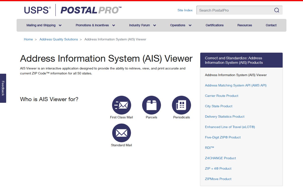
Use the returned postal form to check delivery formatting, then return to township and county records for parcel or ownership research.
Wayne Tax Searches After Postal Confirmation
The rendered Wayne district screen in the New Jersey property tax records portal does not have a ZIP field. It is a parcel search, not a ZIP-wide directory. Its useful inputs are location, owner name, block, lot, and qualifier. A researcher who starts with 07470 or 07474 needs to validate a real street address first, then use that address or parcel key in the tax and GIS systems. The owner mailing address on a result can differ from the Wayne situs address, so it is correspondence information, not proof that someone lives there.
| Rendered field | How it helps after ZIP confirmation |
|---|---|
| Location | Searches a property address or location; exact syntax was not displayed. |
| Owner Name | Finds a tax-record party; partial-match behavior was not established. |
| Block and Lot | Uses Wayne's parcel key when an address has changed form. |
| Qualifier | Separates a qualified or multi-unit parcel where applicable. |
| Output choice | The screen exposes a report-output selection, though choices were not rendered. |
The available screenshot records the portal's criteria and output controls. It does not turn the tax database into a ZIP filter or establish a complete historical parcel-card inventory.
Source: the Wayne district tax-record search rendered these inputs during research.
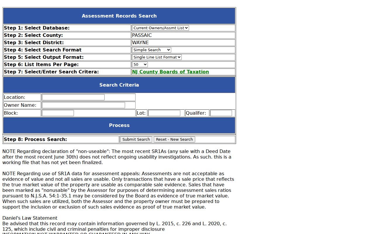
Once an address is confirmed, the displayed criteria provide a controlled route to its assessment record without making a ZIP-based claim the portal cannot support.
Wayne ZIP Research Steps
A Wayne ZIP code directory can narrow a postal question, but the next records step is address-specific. The public voter checker is for an individual's own status, not a ZIP-wide roster. New Jersey's voter statute contains municipality and ZIP fields in the statewide system, yet county-list access follows a statutory request route and protected data are withheld. Wayne GIS likewise has no rendered ZIP filter. These limits keep a postal query from being mistaken for a public list of people.
- Enter the full address in USPS AIS and record the current ZIP, municipality, and standardized street form.
- Use the address in the Wayne tax-record portal, or use block, lot, and qualifier when the address is ambiguous.
- Open the Wayne Township Public GIS Viewer to confirm the parcel geometry and local parcel key.
- For a particular person's voter status, use the individual New Jersey registration checker; do not treat it as a ZIP or block list.
- When the task becomes a named road or one parcel, use the address workflow in the Wayne street directory.
Keep the original address spelling beside the USPS form. Older deeds and directories may use a rural route, box reference, a nearby post-office wording, or a different abbreviation even though they concern the same place.
Wayne Address Forms Across Postal Systems
Three address strings deserve separate notes in Wayne research: the situs address as the tax or GIS record displays it, the mailing address supplied by an owner or organization, and the USPS-formatted deliverable address. The situs address identifies the property location. A mailing address is where correspondence goes and can use a different ZIP. The USPS form describes postal delivery. Conflating them can attach a Wayne parcel to a familiar nearby postal name or treat an absentee owner's mailing location as occupancy evidence.
The Wayne assessor search and the township GIS viewer are useful together because one is an assessment route and the other is a spatial route. Neither replaces the USPS address check. Note: Keep municipality, county, situs address, mailing address, and postal ZIP as separate fields in every address worksheet.
Wayne ZIP Code Map Layers
ZIP geography answers a postal-routing question. Wayne's official map resources answer other questions through street, voting ward and district, zoning, flood, emergency-telecommunications, and school-zone map links. A block and lot identify a legal assessment parcel; a ward or district identifies election geography; a flood or zoning layer describes a geographic condition. None of those is a ZIP substitute, and none identifies the people at an address.
Wayne's planning description also distinguishes Preakness Mountain, Old Wayne, Hoffman Grove, Passaic River wetlands, and the Lions Head Lake, Packanack Lake, and Pines Lake communities. Those names explain local geography, but the research found no official address-level table that assigns every one of them to a single ZIP. Keep a community name as a descriptive search term, then confirm the actual street address through USPS and the relevant township map.
The Wayne tax-map resource page links those map types. Its public GIS viewer supports Address, Owner, Block/Lot, and Street searches, plus parcel-profile reports with surrounding-area buffers. A buffer can intersect a road, flood area, or zoning district, so it should be read as a spatial result rather than a postal boundary.
Source: current Wayne postal naming can also be checked in the USPS L007 material.
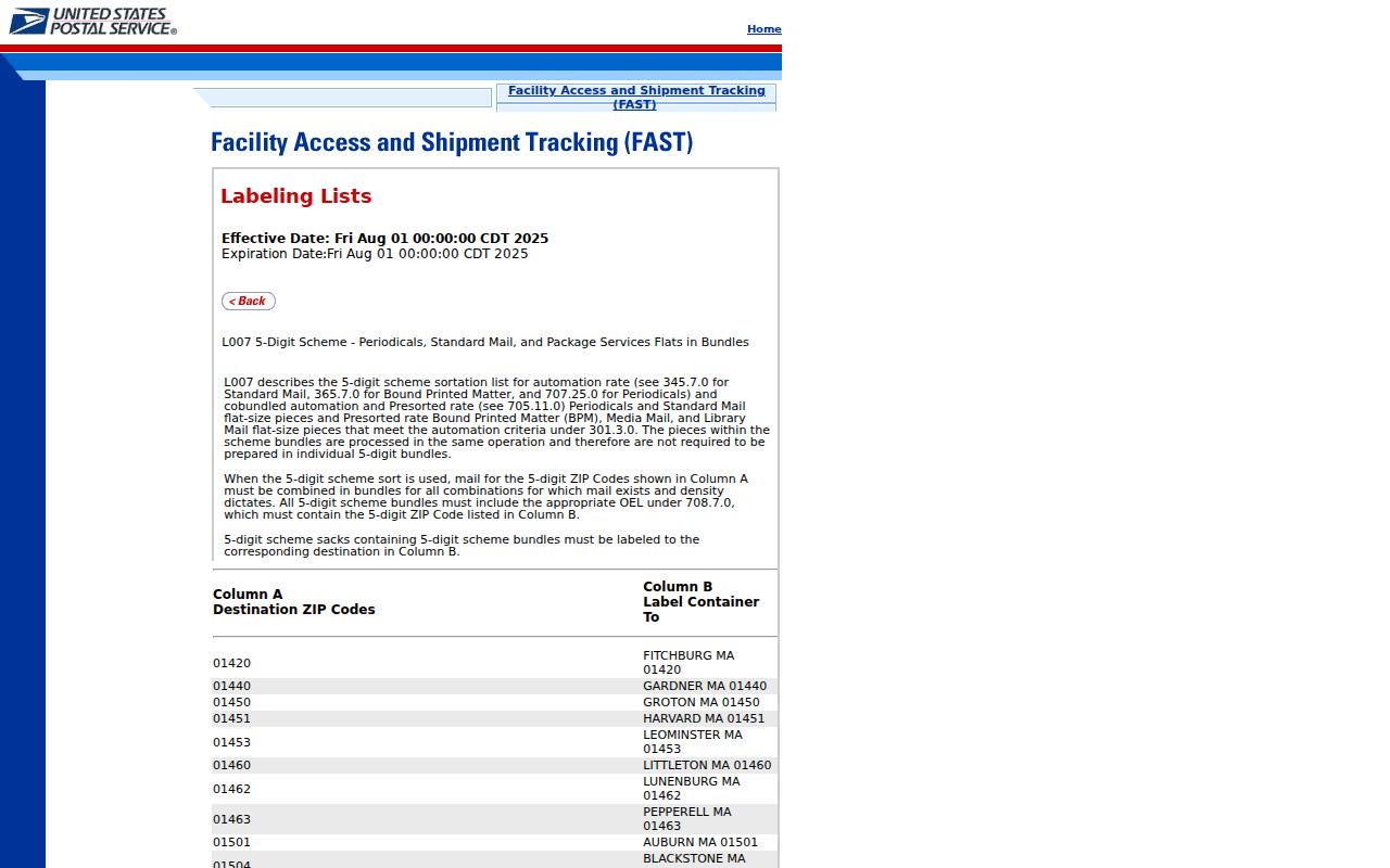
The postal-label source supports the Wayne names in use, while address-level AIS remains necessary for the delivery form of a specific property.
Wayne ZIP Code History Checks
ZIP codes are relatively recent compared with older household sources. PCHS reverse directories can be organized by street and house number, and census schedules follow enumerator geography and households rather than modern postal routing. The Passaic County Historical Society directory-holdings page gives a strong warning for Wayne research: it lists detailed Paterson-area runs and pink street pages, but does not name Wayne among the municipalities listed. Verify that a volume actually covers Wayne before treating an entry as a Wayne address result.
Wayne's Digifind-It local archive offers newspapers, documents, photographs, aerial maps, and yearbooks. Search an old street form and a date alongside the modern form. That method is safer than converting an older address to a current ZIP and assuming the conversion proves continuity.
Wayne ZIP Code Boundary Gaps
No inspected official source supplied a verified Wayne ZIP split date, realignment history, complete neighborhood table, or definitive PO-box-only statement for 07474. That absence is a reason to check, not a reason to fill the gap with a guessed history. When an old address and a current postal result disagree, compare the street map, filed subdivision map, legal description, block and lot, and nearest cross street. Wayne Engineering or the Clerk can help with a road-name or numbering question, while PCHS maps can preserve historical place names.
A practical check begins with the current full address in USPS AIS. Compare that result with the address as shown in the tax record, deed, census, or directory. Then search the street map and subdivision materials for the address form used in the older source. If the property has a qualifier or was split, retain that parcel detail with the ZIP result. A postal match should support the search trail, not replace the municipality, county, and parcel checks that establish the legal location.
- ZIP versus ZIP+4
- A five-digit ZIP routes mail broadly; ZIP+4 adds a delivery segment for more precise sorting.
- PO-box ZIP
- A postal designation used for boxes at a post office, which should not be assumed from an address without USPS confirmation.
- Unique ZIP
- A ZIP assigned to one organization or address range; none was verified for Wayne in the inspected sources.
- Carrier route
- A postal delivery sequence. It is not a municipal boundary, parcel record, or resident list.
Note: Record the source date with every postal result because delivery geography may change independently of township parcel boundaries.