
Wayne Neighbors Block Sources
Wayne neighbors can be researched through several distinct public sources, each with a narrow purpose. The parcel viewer shows shapes and nearby geography. The assessment record may identify an owner and property key. Deeds establish recorded transfer parties, while planning files can name a public applicant or owner connected to a project. Historical directories and census schedules can provide date-bound context. No one source creates a verified roster for an entire block, and a parcel owner is not automatically the person living there.
| Source | What It Shows About a Block | Access |
|---|---|---|
| Wayne GIS parcel viewer | Adjacent parcel shapes, selected-parcel reports, map layers, and surrounding intersecting attributes | Public map with search, report, and export controls |
| Wayne assessment portal | Owner and parcel records for an address, block/lot, or owner query | Public query; exact parcel-card fields were not captured |
| Passaic County deeds | Transfer parties and legal descriptions for parcels around the block | County index or vault; web coverage and image access need confirmation |
| Planning and zoning documents | Public site-plan or variance parties, maps, and reviews | Online PDFs; some material may be redacted |
| Historical directories and census | Older address and household clues tied to a date | Library, historical society, archives, and digital genealogy routes |
| Wayne civic resources | Public organization contacts and meeting information | Township resource listings, not membership rosters |
For a neighbor question, label each result as a parcel fact, an ownership fact, a dated historical household clue, or a public organization contact. That small discipline avoids turning evidence about land or an association into a claim about current people.
Mapping a Wayne Block in GIS
The Wayne Township Public GIS Viewer is the starting point for the immediate block. Search the anchor address or use Block/Lot Search, then lock the map area and view the selected result. Pan across the nearby polygons instead of assuming every nearby mailing address is contiguous. The viewer has Address, Block/Lot, Owner, and Street searches. Its selected-parcel tools can produce a Parcel Profile Report in PDF or Excel and can use a surrounding-area buffer.
- Search the anchor address, then capture its block, lot, qualifier, and the source date.
- Lock the map area, pan to each touching or nearby polygon, and note north, south, east, or west direction.
- Use the parcel key to check an assessment result or a recorded deed where an ownership question remains.
- Record whether the adjoining polygon is private, public, utility, school, commercial, association, road, or water.
- For a full named-road record chain rather than an immediate block, use the Wayne street directory.
The viewer's Measurement Tool measures lines and areas. Its Delete Last Point and Reset controls are drawing controls, not parcel-search functions. That distinction prevents a map action from being treated as a neighbor result.
Wayne Neighbor Lookup Buffers
Parcel Profile Report and Mailing Labels tools offer surrounding-area buffers in the Wayne GIS viewer. Mailing Labels can be queried by Address, Block/Lot, Owner Name, or Street, but a label output should not be described as a public neighbor roster. It is a selection tool. A Parcel Profile Report returns attributes from intersecting or relevant surrounding data. The output can include a road, flood area, zoning district, or other non-household feature, depending on the selected layer and buffer.
For every buffer result, preserve the anchor address, buffer setting, map layer, report date, and parcel identifiers. A water body, right-of-way, or municipal tract may be the closest polygon. In map terms it is adjacent, but it may not represent a household or a social relationship. Note: Read a buffer report as spatial context, not as a statement about who knows whom.
Wayne Block Deed Records
When a nearby parcel needs a transfer history, use its block, lot, and legal description to reach the Passaic County Clerk land-record route. A deed can connect a buyer, seller, recording date, instrument or book and page, and legal description. It documents a conveyance, not current occupancy. The county's live record-search endpoint did not provide a usable field display during research, and no official online coverage year was located.
For an earlier or unavailable web result, use the Registry Vault and Map Room in Paterson, then the State Archives microfilm or FamilySearch deed books for historical work. Compare legal descriptions between parcels before concluding that two old addresses refer to the same tract. This is useful when a block was split, a qualifier was assigned, or an old street form does not match the current display.
Wayne Voter Boundaries
New Jersey's public Am I Registered? tool is designed for an individual status check. It is not a block map or a public list of everyone on a road. N.J.S.A. 19:31-39 describes statewide voter-system fields, including registration address, municipality, ZIP, ward or election district, party where designated, registration date, and participation information. The statutory system is broader than the public checker, and signatures, identification fields, and protected addresses are withheld.
A county voter list follows the statutory request process and is not a replacement for a GIS search. The official township map resources do provide voting ward and district maps, which can explain civic geography without naming residents. Use a ward or district as a map layer, not as proof of voter presence at each parcel.
Wayne Community Lookup Routes
Public community contacts can add local context without exposing a member list. The Township's community-resource page names Lionshead Lake and its association, Pines Lake Seniors and association contact, Kiwanis Club of Wayne, Lions Club, Greater Wayne Chamber of Commerce, Wayne Rotary, Elks Lodge 2181, Wayne American Legion Post 174, Wayne Adult Community Center, Golden Age Circle, Wayne Alliance, Wayne CERT, local firehouses, the First Aid Squad, the Interfaith Network, and several faith congregations. The page supplies public contacts or meeting information for many of them, not household rosters.
| Public Wayne resource | Appropriate use |
|---|---|
| Lionshead Lake and Pines Lake contacts | Use the listed public association contact or public notice; do not infer membership from a nearby parcel. |
| Wayne Alliance and civic boards | Read public meeting information, agendas, or decisions connected to a public project. |
| Kiwanis, Rotary, Golden Age Circle, and service groups | Use published meeting or contact routes for a defined public inquiry. |
| Congregations and PCHS resources | Ask an archivist about a defined historical year rather than seeking private current lists. |
| Stonebridge at Wayne filings | Treat a planning application as a named public land-use record, not association membership evidence. |
The Wayne Township resources page is the source for these public routes. A public meeting, event notice, or filing is more appropriate than trying to extract private contacts from a neighborhood label.
Wayne Planning Records
Wayne planning and zoning records can place a public applicant, owner, consultant, map, or project date in the context of a block. The Township's planning-document library has dated materials for site plans, variances, and separate review disciplines. Its files can include redactions. A named applicant in a file is evidence of that public application, not proof that the person is a nearby resident or that every parcel in a buffer belongs to the project.
Use the public document route first. If a precise, non-posted record is necessary, make a defined request under the New Jersey Open Public Records Act. Include the address, block and lot where known, project or application name, and date range. This keeps the request tied to a public record rather than a vague request for neighbor information.
Wayne Facility Address Caveat
A facility address in Wayne is not a shortcut to a neighbor result. The Passaic County Sheriff's corrections information states that the Wayne processing facility does not house people overnight and directs the public to Bergen County Jail or Hudson County Correctional Center searches when custody location is the question. A facility label therefore says nothing about residents of nearby parcels or a person's current home address.
Source: the Passaic County Sheriff inmate-search information explains the county's shared-facility routing.
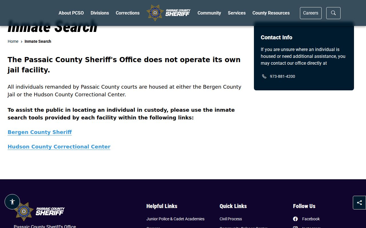
The official custody guidance is a geographic caution, not a block-level people record.
Wayne Block Source Comparison
Official records and commercial neighbor tools answer different questions and carry different limits. The official route preserves a source, date, and defined record purpose. Commercial tools may combine addresses and presumed relationships, may merge names, and may retain stale information. Neither category establishes a social relationship from adjacent parcels. For Wayne neighbors, a map, deed, or public application should be described for what it actually records.
| Official record route | Commercial neighbor-tool category |
|---|---|
| Links an address, parcel, transfer, or public filing to its custodian and date. | May compile address and presumed-relationship data from mixed sources. |
| Shows the access boundary, such as a map layer, deed image route, or statutory request process. | Can obscure source dates, match logic, and privacy exclusions. |
| Supports a narrow property, civic, or historical question. | Should be treated as an unverified lead, not a record of current neighbors. |
Wayne Neighbors Privacy Limits
Public parcel results may show an owner while renters, guests, minor children, caregivers, and other household members remain absent. Utility, delivery, and customer-account records are not public block tools. New Jersey's Address Confidentiality Program can provide an eligible participant with a substitute address, and Daniel's Law can shield covered public officials' home information. Voter signatures, identification numbers, and protected addresses are also withheld. These boundaries matter even when an adjacent parcel is easy to see on a GIS map.
Source: the New Jersey Address Confidentiality Program explains the protected-address route.
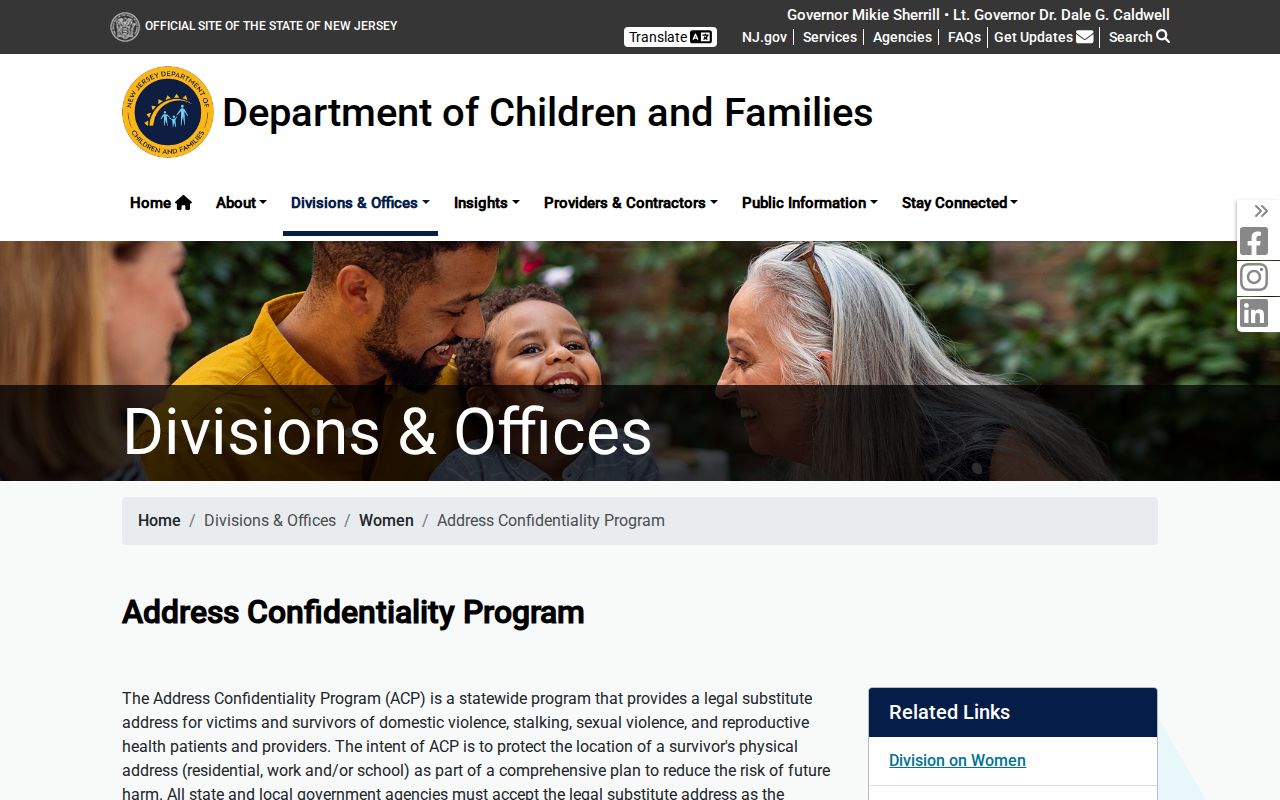
The program is a direct reminder that a missing address can be a lawful privacy protection, not a gap to work around.
Lawful use. Use Wayne neighbor records for a defined civic, property, historical, or personal-safety question. Do not use them to watch, harass, intimidate, or harm anyone.